Mapping Underground
Crowd-Sourced 3D Subterranean Mapping


Maps stop at the surface, but what's happening underneath? With Mapping Underground, use your phone to map train tunnels, transit stations, caves, basements, etc., and publish them on a global 3D map!
Contributing is easy:
- Press "start"
- Go about your journey
- Press "stop" when you're done!
We use your phone's sensors and combine them with all other users' journeys to build a global 3D map. Once enough data is available, it will be available on this page for everyone to explore.
The inspiration
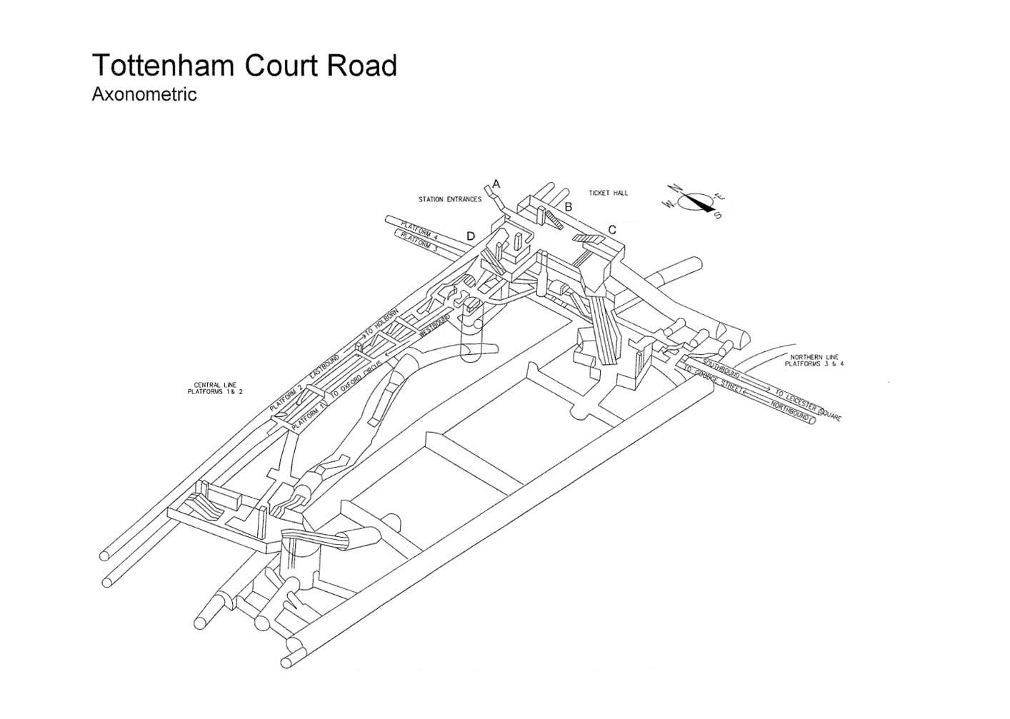
The idea for this project came from seeing 3D maps of Underground stations published by Transport for London. This made me wonder if we could get similar maps for all transit stations and tunnels around the world automatically from the journeys people already make through them.